Middlebury River Watershed

When you drive up Route 125 toward Breadloaf, you can usually look down – especially on the sharp curves that follow the river’s course – to see clear water rushing around the feet of a motley crew of giant boulders. This is the Middlebury River, a cold-water, scenic fishery tumbling down from Ripton. The river assumes a totally different personality after it flows through East Middlebury and hits the flat Champlain Valley. There, as the river winds through farm fields and picks up eroding soils and runoff, it becomes lazy, silty and cloudy before entering Otter Creek.

A tributary of Otter Creek, the Middlebury River is formed up in the Green Mountain National Forest by the confluence of three main branches. The Middlebury River flows through a mostly forested landscape until it reaches the more fertile plain below.

Lower Middlebury River Sampling Coordinator
Heidi Willis: 802-352-4327

Upper Middlebury River Sampling Coordinator
Beth Eliason: 802-388-0018

Water Quality

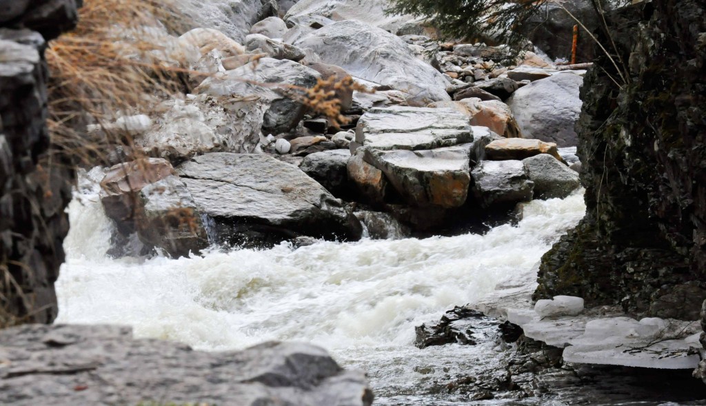
The Vermont Department of Conservation (VT DEC) lists the Middlebury River as a Class B Cold Water Fishery that is suited for human uses including swimming, fishing and boating. The DEC has determined that the river is impaired by high bacterial counts along a two-mile impaired section near its mouth. Under Clean Water Act law, impaired waters must be cleaned up, whether through better land stewardship, stormwater management, or other measures.

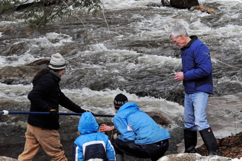
Otter Creek Audubon River Watch, which has become folded into the Addison County River Watch Collaborative, began monitoring the Middlebury River in 1993. It became apparent in the mid-1990s that lower reaches of the Middlebury River, especially west of Route 7, had extreme pollution problems, the most acute being E.coli readings that sometimes exceeded state standards by ten or even twenty times.

In the late 1990s, a group of concerned citizens calling themselves the Middlebury River Watershed Partnership teamed up with the Otter Creek Natural Resources Conservation District to address pathogen levels in the lower Middlebury River. At the time there was strong concern that runoff from farm fields were polluting the river.

Since that time, some farmers in the area have put in place practices that reduce manure input to the river. Partly due to River Watch’s data that showed harmful pathogen levels in the 1990s, local Agriculture agents leveraged funding to fence out cows from waterways and give them other access to drinking water. Some nearby farmers also took measures to reduce nutrient runoff from their barnyards.

During the 2014-2015 stream-monitoring season, Addison County River Watch Collaborative is focusing on the Middlebury River and Otter Creek watersheds as intensive monitoring areas. As part of this year’s focus, the Collaborative is sampling for the first time the upper Middlebury River. The purpose of sampling E.coli as well as alkalinity and other parameters in these relatively pristine reaches of the river is to establish baseline information so we better know the condition of the upper Middlebury. It is possible that such data could lead to an official reclassification of those waters to a more protected status.

History

While pollution has been of concern for years on the lower Middlebury River, farther upstream flooding has been a more alarming problem for many decades. Even before Tropical Storm Irene, Middlebury River floodwaters had on many occasions caused tremendous damage to roads, bridges and other property.

Middlebury River flooding was initially worsened by nineteenth-century logging operations, mostly to produce lumber and potash, that culminated in widespread deforestation by the 1880s. In the twentieth century and in the past decade, an increase in roads, parking lots, roofs and other impervious surfaces has led to more “flashiness” – greater spikes in velocity – of the already swift river. The infamous 1927 flood scoured a channel right down Main Street in East Middlebury. The 1938 flood was similarly damaging. Very costly floods continued to wipe out culverts, roads and buildings in 1989, 1998 and 2000.

During 2002-2003, FEMA-funded technical consultants, with Kristen Underwood of Bristol in the lead, studied the shape of the river’s channel and determined the areas of greatest concern during high waters. This resulted in a “fluvial geomorphology” assessment prepared by Underwood for the teamed-up Watershed Partnership and Conservation District.

On August 28 and 29, 2011, Tropical Storm Irene pummeled the Green Mountains with three to seven inches of rain, causing many streams and rivers to rage through valleys, wiping out houses, roads and bridges. The Town of Middlebury went to work dredging the channel and armoring banks to protect roads and homes, but in the autumn of 2011, the Vermont Agency of Natural Resources and the U.S. Army Corps of Engineers found that the Town had violated laws that limit the altering of stream channels. Those laws exist in order to protect fish habitat and the small organisms that fish eat. Town officials at the time said they thought they had been complying with verbal permission that the State of Vermont had given them to do earthwork in the river.

The work the Town did after Irene proved to be controversial. Anglers and environmentalists drew attention to what they perceived as disruptive work in the river channel. Others in the community were concerned that the removal of sediment in the reach between the two town bridges might increase the force of the river as it heads into the Grist Mill Bridge flood wall.

U.S. Army Corps’s main goal after Tropical Storm Irene was habitat restoration while minimizing channel disturbance. In the fall of 2013, restoration was accomplished by replacing large native stones that were pushed to the side of the channel during post-Irene dredging back into the main flow in a random pattern in order to create meaningful amounts of habitat.

Copyright © 2024 Addison County Regional Planning Commission | Vermont

Site by Scout Digital