Why Monitor Water Quality?

We are the best watchdogs of our local rivers. Through provisions in the Federal Clean Water Act, the State of Vermont’s Department of Environmental Conservation carries out various water quality sampling efforts in some sections of rivers. While this annual monitoring is highly valuable, it does not capture data on all river reaches, not does it necessarily pinpoint sources of pollution. There is a vital role for citizen scientists to keep a close and relatively frequent eye on the many reaches of streams and rivers that would not otherwise be monitored. Once a citizen monitoring group has built up a track record of reliable and scientifically valid information, the data can be used to guide management decisions. A small, dedicated, and methodical group of people can spur further research and projects – all based on data supplied by volunteer monitoring – that improve water quality.

Pond Brook Case Study

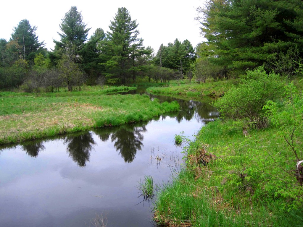
Pond Brook, which flows north out of Bristol Pond, is an example of where the Addison County River Watch Collaborative (ACRWC) has worked with other local partners to discover problems in this tributary to Lewis Creek.

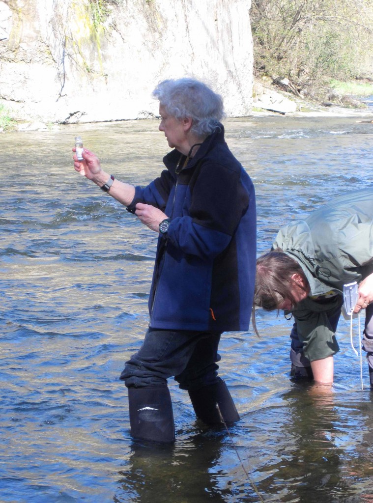
Scientists analyzed ACRWC’s spring and summer monitoring data from 2004 to 2011, leading to the conclusion that Pond Brook is a major sediment and phosphorus loader to the Lewis Creek watershed. The State of Vermont’s Department of Environmental Conservation (DEC) also looked at River Watch information, did some of their own investigating, and, recognized that the lower reaches of Lewis Creek and Pond Brook were “impaired for contact recreation use” due to E.coli impacts likely resulting from farm runoff. A “TMDL”, or Total Maximum Daily Load allocation for pathogens was confirmed. This meant that, by law, action needed to be taken to reduce E.coli in Lewis Creek.

Once they understood a problem existed, the Lewis Creek Association (LCA), in concert with the ACRWC, led a more intensive study that “identified hot spots” with the Pond Creek subwatershed. The Vermont DEC awarded the watershed group a grant to conduct a more detailed Pond Brook study.

During 2012-2013, LCA and the Collaborative monitored six sample stations on Pond Brook to understand where, when and how much soil and nutrients were entering Pond Brook. After studying storm events and other runoff events, it became apparent, said LCA Executive Director Marty Illick, that “The phosphorus was coming from high flows off particular reaches” of the brook. Bristol Pond, the brook’s source, was not the problem, said Illick, but rather runoff from various farms and forest areas.

During this detailed study, Lewis Creek Association and local landowners completed an inventory of farms operating in the watershed, reviewed stream studies and existing remote sensing data to pinpoint reaches appearing to have direct stormwater and sediment runoff. Evaluations of the Pond Brook sampling data along with landowner conversations led to identifying specific restoration and conservation projects and practices that could decrease nutrient, sediment and pathogen loading and erosion.

Among the many farms that the Lewis Creek Association found in the Pond Brook watershed – including five small dairy farms and a small beef farm – is Last Resort Farm, which grows organic vegetable, berries and hay. Last Resort Farm, co-owned by Sam Burr, borders Pond Brook near its mouth at Lewis Creek.

Burr, a member of the Monkton Planning Commission and Agriculture and Natural Resources Committee, said one area that the Lewis Creek Association examined as a possible source of water quality problems was forestland. “Forestland is often overlooked, but when it is eroding, it can still be problematic.” Burr explained that he owns hayfields that come to an edge at a series of wooded, steep gullies that lead down to Pond Brook. “In the last ten years these steep areas have gotten worse,” with storm events causing trees to uproot and fall. So much erosion has occurred at these locations that the gullies “have started eating their way into the field.”

Lewis Creek Association also worked with a Bristol-based organization promoting sustainable forestry practices, Vermont Family Forests (VFF), to teach landowners some methods to improve water quality through better forest stewardship. In 2013, VFF ran two forest access workshops and some forest water quality improvement projects with geologist Kristen Underwood from South Mountain Research and Consulting for the Lewis Creek Association as part of the Pond Brook Project. The focus of the workshops was to encourage a higher level of compliance with Vermont’s Acceptable Management Practices for Maintaining Water Quality on Logging Jobs in Vermont.

 Illick said that “Almost two-thirds of the Pond Brook valley watershed is forested. The Vermont Family Forest workshops help and support forest landowners who are implementing AMPs on their own lands in the area and the Pond Brook watershed.” She added, “This will ideally increase storm water attenuation and reduce sediment loading into nearby streams.”

Burr said that work to stabilize some of the gullies on his land is scheduled to happen this summer. He explained that the federal Natural Resources Conservation Service has agreed to provide funds to put down fabric and large stones that will slow stormwater flow and also still let rainwater seep into the ground in a more controlled way. He credited the Lewis Creek Association for helping make the project happen.

“The idea is to ameliorate some of the issues that are compromising Pond Brook,” said Burr. “Hopefully more landowners will follow this example – we want to get people focused on practices that improve the quality of the brook.”

Copyright © 2024 Addison County Regional Planning Commission | Vermont

Site by Scout Digital