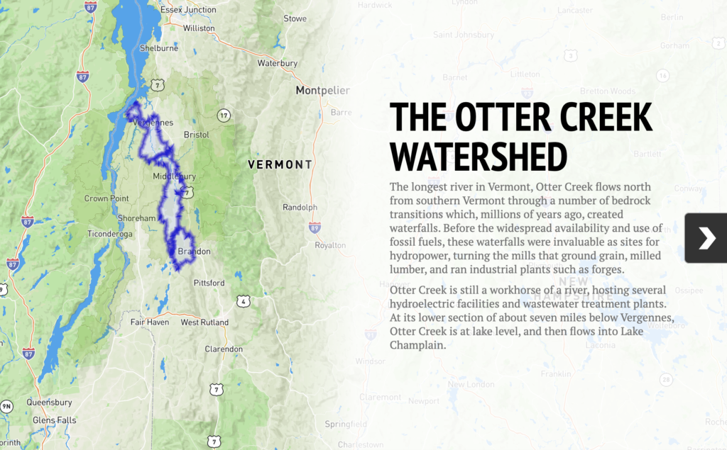
River Watch has been monitoring water quality in the lower Otter Creek since 1992. The longest river in Vermont, Otter Creek has one of the most intact, wide floodplains in the state. The broad wetlands beside the creek helped lessen the massive floods of 2011, one sign of a healthy river. E.coli levels are high at and near the river’s mouth. An increased number of monitoring sites in the Otter Creek watershed are being evaluated in 2014-2015 during the period when a more intensive monitoring focus rotates back to the watershed.
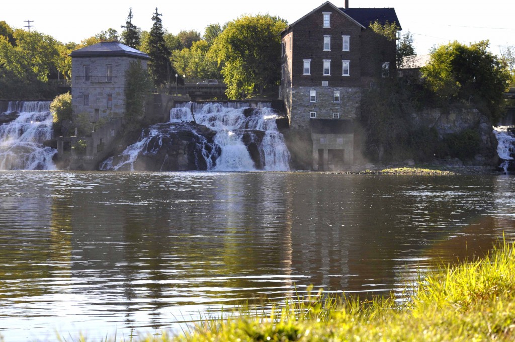
Otter Creek is listed by the State of Vermont as impaired for swimming from the mouth of the Middlebury River down to the Weybridge Dam and, farther downstream, from the Vergennes Falls to Otter Creek’s mouth at Lake Champlain in Ferrisburgh. E. coli counts tend to exceed the Vermont State Standard downstream from Middlebury (sampling station OTR23) to the Route 17 Bridge (sampling station OTR13). Counts at other locations often exceed the standard, especially during periods of high runoff.
Turbidity levels in Otter Creek are generally well below the Vermont State Standard of 25 NTU, but approach or exceed the standard at Belden Falls (sampling station OTR21) during periods of high flow and runoff. Concentrations of phosphorus in Otter Creek generally mirror those of suspended sediment in the water measured as turbidity. The primary source of phosphorus is erosion, and the phosphorus load transported by the river can be very high during periods of high flow.
In 2014-2015, the Collaborative is sampling an increased number of monitoring sites along the Otter Creek because a more intensive monitoring focus rotates back to the watershed during this two-year period.
To explore interactive maps and gain an overview of the Otter Creek Watershed, click the image below:


