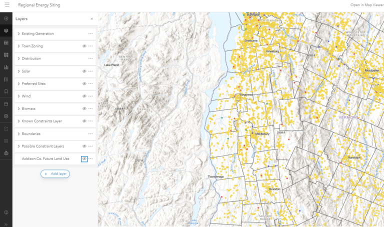
A GIS integrates hardware, software, and data for capturing, managing, analyzing, and displaying all forms of spatially referenced information. This allows users to view, understand, question, interpret, and visualize data in many ways that help to reveal relationships, patterns, and trends. This technology also informs decision-making by interacting with data in a way that is quickly understood and easily shared.
We provide GIS services to state and regional partners, municipalities, private consultants and individuals on projects that involve transportation, land use and natural resources planning, emergency planning, and community and economic development.
For any questions about our GIS services, data, prices or general GIS information, please contact Hannah Andrew.